Freak summer snow will cover parts of the US this week as a ‘winter storm’ whips through on an ‘energetic jet stream’.
As southern states bake in what is shaping up to be a heatwave to smash records, the north will freeze.
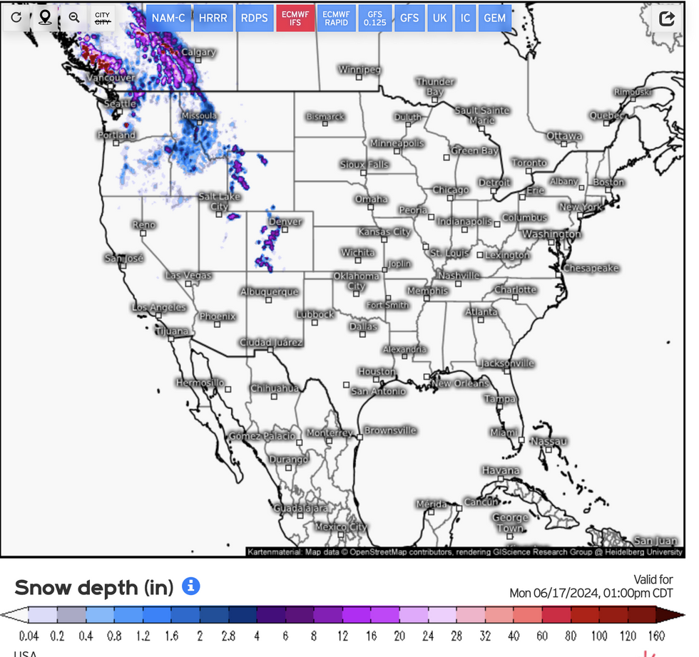
A bitter plunge from Canada and the Pacific Northwest will put swathes of Washington, Idaho, Oregon and Nevada on snow alert.
The US National Weather Service (NOAA) has a raft of alerts in force across the region including a ‘Winter Weather Advisory’, a ‘Freeze Watch’ and ‘Frost Advisories’.
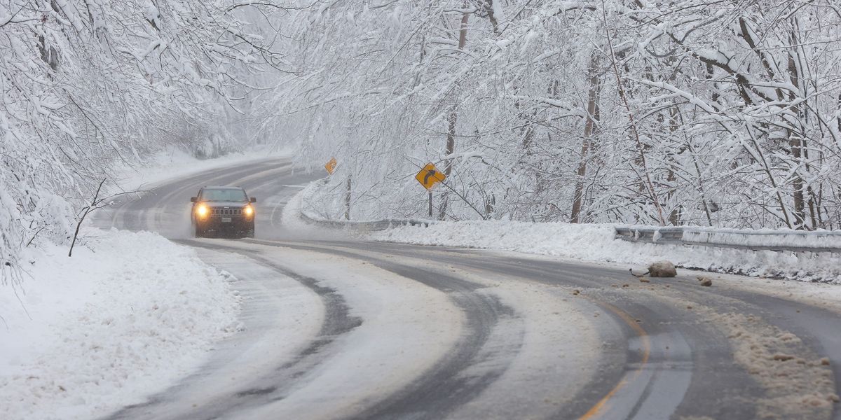
Swathes of Washington, Idaho, Oregon and Nevada on snow alert
Getty
A spokesman said: “An energetic jet stream will move quickly into the Pacific Northwest and this system will usher a dose of cold air through the Pacific Northwest and northern Rockies, where late-season wet snow is expected to persist over the higher elevations of the northern Rockies Monday into Tuesday.
“A Winter Storm Watch is in effect for these higher elevations while freeze and Frost Warnings are in effect over portions of the interior Pacific Northwest.
“This energetic system will bring quite a bit of wind across the Great Basin and the northern into the central Rockies and northern Plains by Tuesday morning.”
Cold weather across northern states will bring a brief relief before heat from the south arrives.
Temperatures will soar into the 100Fs this week as hot air surges up from the Caribbean.
LATEST DEVELOPMENTS:

Snow back in the forecast
Weather.us
In contrast, thermometers in the north will dip to freezing as a bitter ‘plume’ descends through Canada.
Jim Dale, US weather correspondent and meteorologist for British Weather Services, said: “In the north of the country, this is the cold before the heat as a plume of cold air comes in from Canada.
“This is going to be at the start of the week, and affect the northwest of the country, into the Rockies where there will be some snow over high ground.
“Then there is going to be a major switch towards the middle and end of the week when the heat spreads across the whole country.”
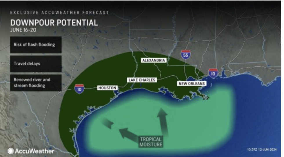
To the southeast, Texas, Louisiana, Mississippi and surrounding states will be on storm alert as a belt of ‘tropical moisture’ hits.

Southeastern regions brace for rain
AccuWeather
People in the region are waned to brace for travel chaos and flash floods as rivers and streams overtop.
AccuWeather lead hurricane forecaster Alex DaSilva said: “All eyes will turn to the western Gulf of Mexico, specifically the Bay of Campeche, where we could see tropical development.
“Regardless of development, this storm can bring heavy rain to the Louisiana and Texas coasts.”
Weather Channel meteorologist Jonathan Erdman added: “Florida’s heavy rain threat is from a combination of low pressure in the Gulf of Mexico and a Bermuda high that shifted east pulling deep moisture from the Caribbean Sea to Florida.
“Computer forecast models suggest the upper-air pattern will change enough to slide a conveyor belt of deep, tropical moisture westward and this would bring locally heavy rain to parts of the Gulf Coast from the Florida Panhandle as far west as Texas.”

