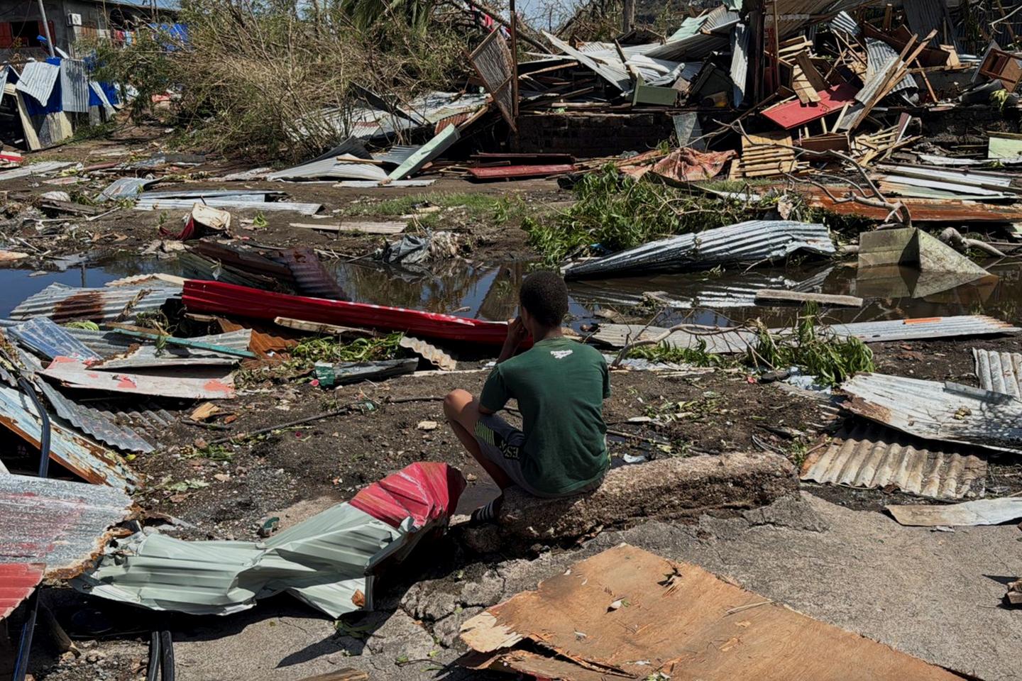
Céline Jauffret, Météo-France’s inter-regional director for the Indian Ocean and regional meteorological center specialized in cyclones for the south-western Indian Ocean, speaks to Le Monde about the passage of Cyclone Chido over the French territory of Mayotte.
What are the meteorological characteristics of Cyclone Chido compared with other phenomena in the region?
Chido hit Mayotte as an intense tropical cyclone. This is a very rare event for Mayotte. The last comparable weather event dates back to 1934. Such intensity is not exceptional in the south-west Indian Ocean basin, where an average of three systems of equivalent intensity to Chido are observed every season. In general, the northern part of the Mozambique Channel is less frequently affected than the southern or oceanic part west of Madagascar.
Chido’s east-west trajectory prevented it from hitting Madagascar’s east coast, which would have weakened it. Instead, it skirted Madagascar from the north. In Mayotte, gusts of 226 km/h were recorded at the airport in Petite-Terre, and 194 km/h at the Coconi station in the heights of Grande-Terre, before survey equipment was damaged. More than 100 millimeters of rain fell between in the 12 hours from 6 am to 6 pm on Saturday, December 14. Waves measured between 5.3 and 7.3 meters in the north-west of the island, outside the lagoon. If this relatively small system had passed just 50 kilometers further south or north, the impact on Mayotte would have been much more anecdotal.
You have 59.88% of this article left to read. The rest is for subscribers only.

