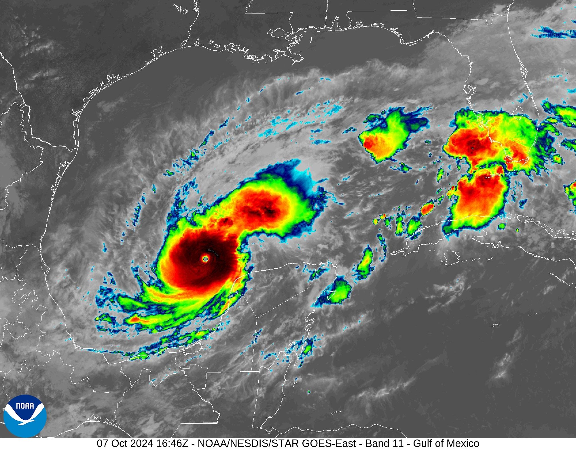
Tampa in the crosshairs
The Tampa Bay metro area, with a population of more than 3 million people, has grown into the most developed region on the west coast of Florida. For those of us who follow hurricanes, this region has stood out in recent years for a preternatural ability to dodge large and powerful hurricanes. There have been some close calls to be sure, especially of late with Hurricane Ian in 2022, and Hurricane Helene just last month.
But the reality is that a major hurricane, defined as Category 3 or larger on the Saffir-Simpson Scale, has not made a direct impact on Tampa Bay since 1921.
It remains to be seen what precisely happens with Milton. The storm should reach its peak intensity over the course of the next day or so. At some point Milton should undergo an eyewall replacement cycle, which leads to some weakening. In addition, the storm is likely to ingest dry air from its west and north as a cold front works its way into the northern Gulf of Mexico. (This front is also responsible for Milton’s odd eastward track across the Gulf, where storms more commonly travel from east to west.)
11 am ET Monday track forecast for Hurricane Milton.
Credit:
National Hurricane Center
So by Wednesday, at the latest, Milton should be weakening as it approaches the Florida coast. However, it will nonetheless be a very large and powerful hurricane, and by that point the worst of its storm surge capabilities will already be baked in—that is, the storm surge will still be tremendous regardless of whether Milton weakens.
By Wednesday evening a destructive storm surge will be crashing into the west coast of Florida, perhaps in Tampa Bay, or further to the south, near Fort Meyers. A broad streak of wind gusts above 100 mph will hit the Florida coast as well, and heavy rainfall will douse much of the central and northern parts of the state.
For now, Milton is making some history by rapidly strengthening in the Gulf of Mexico. By the end of this week, it will very likely become historic for the damage, death, and destruction in its wake. If you live in affected areas, please heed evacuation warnings.

