CNN
—
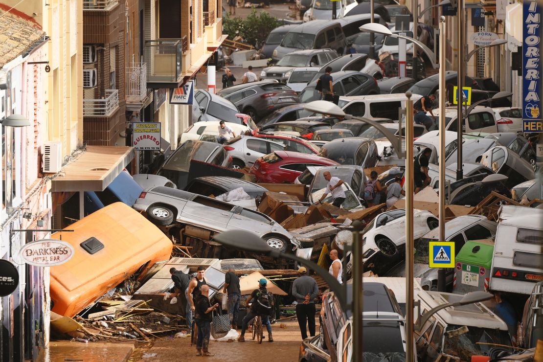
The deadly flooding that rocked Spain this week following intense, historic rainfall is so expansive and severe the area looked like an inland sea from space.
A year’s worth of rain fell in just hours in east-central Spain Tuesday, creating a surge of floodwater that broke the banks of rivers, turned streets into raging rapids and washed away cars and bridges.
At least 155 people were killed in the catastrophic floods — the type of extreme rainfall event becoming all too frequent as the world warms due to fossil fuel pollution.
Parts of the area now look like an extension of the Balearic Sea after unprecedented rainfall turned what should be dry ground into a vast expanse of water, satellite imagery captured on October 30 shows.
Floodwaters appear as various shades of blue and cover what was dry ground (browns and greens) earlier this month, the imagery shows. The dramatic, widespread coverage of floodwater over inland areas has almost turned coastal areas into islands.
Waterways that were hardly noticeable in the “before” satellite image from earlier in the month — like the one that cuts just south of Valencia’s city center — are now highlighted in bright blue, indicating how swollen they are.
Dozens of people remain missing as of Thursday as rescue and recovery efforts continue.

The torrential rainfall produced this week was about 12% heavier and twice as likely to happen now compared to a pre-industrial climate, before humans began burning fossil fuels, according to a rapid analysis by World Weather Attribution. In Chiva, located just west of Valencia, 19 inches of rain fell in an eight-hour period Tuesday, according to the country’s meteorological agency, AEMET.
Rapid analysis is done in the immediate aftermath of extreme weather events by analyzing data and climate models to establish what role climate change played.
CNN Meteorologist Brandon Miller and CNN’s Laura Paddison contributed to this report.

