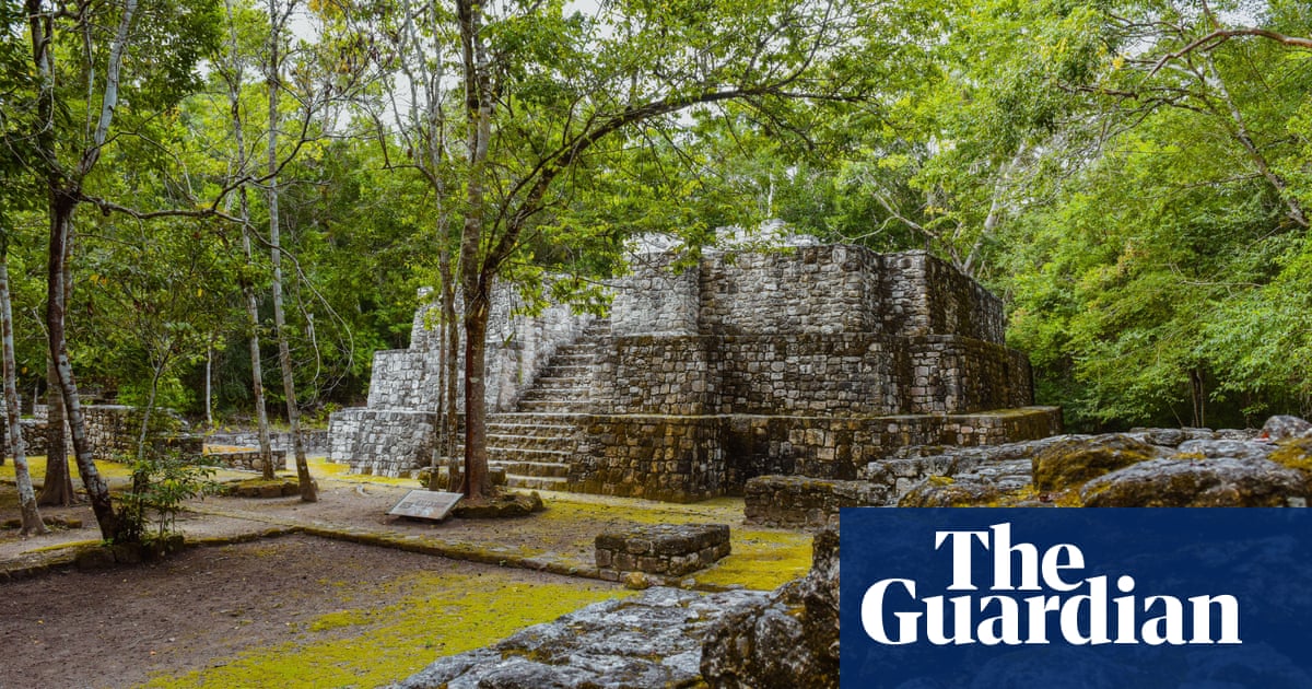
After swapping machetes and binoculars for computer screens and laser mapping, a team of researchers have stumbled on a lost Maya city of temple pyramids, enclosed plazas and a reservoir, all of which had been hidden for centuries by the Mexican jungle.
The discovery in the south-eastern Mexican state of Campeche came about after Luke Auld-Thomas, an anthropologist at Northern Arizona University, began wondering whether non-archaeological uses of the state-of-the-art laser mapping known as lidar could help shed light on the Maya world.
“For the longest time, our sample of the Maya civilisation was a couple of hundred square kilometres total,” Auld-Thomas said. “That sample was hard won by archaeologists who painstakingly walked over every square metre, hacking away at the vegetation with machetes, to see if they were standing on a pile of rocks that might have been someone’s home 1,500 years ago.”
Lidar is a remote sensing technique that uses a pulsed laser and other data obtained by flying over a site to generate three-dimensional information about the shape of surface characteristics.
Although Auld-Thomas knew that it could help, he also knew it was not a cheap tool. Funders are reluctant to pay for lidar surveys in areas without obvious traces of the Maya civilisation, which reached its height between AD250 and AD900.
It occurred to the anthropologist that others may already have mapped the area for different reasons. “Scientists in ecology, forestry and civil engineering have been using lidar surveys to study some of these areas for totally separate purposes,” Auld-Thomas said. “So what if a lidar survey of this area already existed?”
He was in luck. In 2013, a forest monitoring project had undertaken a detailed lidar survey of 122 square kilometres of the area. Together with researchers from Tulane University, Mexico’s National Institute of Anthropology and History, and the University of Houston’s National Center for Airborne Laser Mapping, Auld-Thomas began analysing the survey’s data to explore 50 square miles of Campeche that had never been investigated by archaeologists.
Their analysis turned up a dense and diverse range of unstudied Maya settlements, including an entire city they named Valeriana, after a nearby freshwater lagoon.
“The larger of Valeriana’s two monumental precincts has all the hallmarks of a Classic Maya political capital: multiple enclosed plazas connected by a broad causeway, temple pyramids, a ballcourt, a reservoir formed by damming an arroyo (a seasonal watercourse), and a probable … architectural arrangement that generally indicates a founding date prior to AD150,” the researchers write in their study, which is published in the journal Antiquity.
According to Auld-Thomas, the team’s findings show just how many undiscovered treasures the area could yet yield.
“We didn’t just find rural areas and smaller settlements,” he said. “We also found a large city with pyramids right next to the area’s only highway, near a town where people have been actively farming among the ruins for years. The government never knew about it, the scientific community never knew about it. That really puts an exclamation point behind the statement that no, we have not found everything, and yes, there’s a lot more to be discovered.”
The team are planning to follow up on their lidar analysis with fieldwork at the newly discovered sites, which they say could offer valuable lessons as parts of the planet deal with the demands of mass urbanisation.
“The ancient world is full of examples of cities that are completely different than the cities we have today,” Auld-Thomas said. “There were cities that were sprawling agricultural patchworks and hyper-dense; there were cities that were highly egalitarian and extremely unequal. Given the environmental and social challenges we’re facing from rapid population growth, it can only help to study ancient cities and expand our view of what urban living can look like.”
Six years ago, some of the same researchers used lidar to uncover tens of thousands of previously undetected Maya houses, buildings, defence works and pyramids in the dense jungle of Guatemala’s Petén region, suggesting that millions more people lived there than was previously thought.
The discoveries, which included industrial-sized agricultural fields and irrigation canals, were announced in 2018 by an alliance of US, European and Guatemalan archaeologists working with Guatemala’s Maya Heritage and Nature Foundation.
The study estimated that 10 million people may have lived within the Maya lowlands, meaning that huge-scale food production may have been needed.

